Hampden Ave. Mobility & Safety Study
Summary
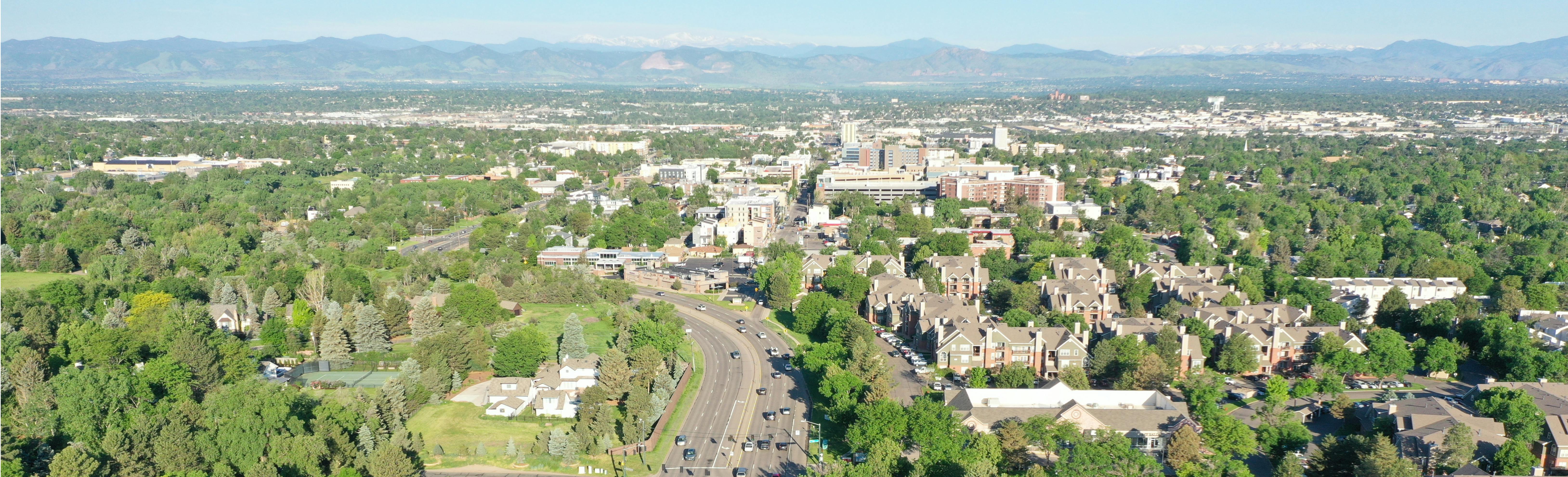
Hampden Avenue (U.S. 285) is a critical element of the Colorado and the Denver metro area transportation network. The corridor has a long history of moving people and goods through and between the cities of Sheridan, Englewood, Cherry Hills Village and Denver, and provides essential commercial and regional access to the C470 and I-25 corridors. The study will examine the corridor through the following four segments:
- Segment 1: Lowell Boulevard/Knox Court to Santa Fe Drive
- Segment 2: Santa Fe Drive to Gilpin Street
- Segment 3: Gilpin Street to Colorado Boulevard
- Segment 4: Colorado Boulevard to 1-25

Goal of the Study
To identify a corridor vision for phased improvements that address safety concerns and include proposed actions for reducing congestion, improving operational performance, and addressing future transportation needs and multimodal options within the defined Hampden Avenue corridor.
The project also aimed to preserve community character and seek ways to enhance community amenities and/or placemaking.
Final Report
Explore immediate, short, mid and long-term recommended improvements from the study.
Segment-specific improvements
Executive Summary
Full Report
Help us identify a vision for Hampden Avenue (U.S. 285)
We want your input! Please use this map to help us identify a vision for the future of Hampden Avenue by sharing what you like, what you hope to see improved, and your vision for the corridor.
Please follow these steps to leave your feedback:
- Choose a pin by topic (Options include Safety, Mobility, Congestion, Bicycle/Pedestrian, Transit, and General).
- Drag your pin to a specific location within the project area (the shaded area on the map).
- Respond to the survey questions as it relates to your chosen pin topic.
- Drop as many pins on the map as you would like.
In addition to adding your own feedback, this tool allows you to see what others in the community have been saying about Hampden Avenue. You may also upload photographs of the area you are providing feedback on if you would like to.
Custom
![]()
Learn More
-
Director of Public Works

Phone 303-762-2500 Email vrachael@englewoodco.gov
Project Documents
-
 Hampden Avenue Mobility & Safety Study Fact Sheet (579 KB) (pdf)
-
Hampden Avenue Mobility & Safety Study Infographic (116 KB) (pdf)
-
Hampden Avenue Mobility & Safety Study Open House Flyer [English & Spanish] (262 KB) (pdf)
-
Draft Hampden Avenue Corridor Conditions Report (19.6 MB) (pdf)
-
Draft Hampden Avenue Current Conditions Report Appendices (11.6 MB) (pdf)
-
Hampden Avenue Mobility and Safety Study- Summary of Potential Solutions (560 KB) (pdf)

Hampden Avenue Mobility & Safety Study Open House Materials
-
Station 1: Project Overview, the Study Process, & Existing Corridor Conditions (1.54 MB) (pdf)
-
Station 2: Hampden Avenue Corridor Segments (1.48 MB) (pdf)
-
Station 2- Draft Purpose & Need (445 KB) (pdf)
-
Station 4: Public Engagement & Next Steps (626 KB) (pdf)
-
Hampden Avenue Mobility & Safety Study Open House Summary (1.75 MB) (pdf)
Community Advisory Committee (CAC)
-
Hampden Avenue Mobility & Safety Study Community Advisory Committee Roster (104 KB) (pdf)
-
Hampden Avenue Mobility & Safety Study Kick Off Meeting Summary (1.24 MB) (pdf)
-
Hampden Avenue Mobility & Safety Study CAC Meeting #2 Summary (1.45 MB) (pdf)
-
Hampden Avenue Mobility & Safety Study CAC Meeting #3 Summary (518 KB) (pdf)
-
Hampden Avenue Mobility & Safety Study CAC Meeting # 4 Summary (1.85 MB) (pdf)