
Strong to severe thunderstorms capable of producing large hail, gusty winds and heavy rainfall will be possible over the next few days from New Mexico to Texas, into western Mississippi. Additional heavy rainfall over previously saturated soils may lead to flash and urban flooding. Isolated thunderstorms will also be possible across portions of the Midwest. Read More >
Last Map Update: Sat, May. 11, 2024 at 4:12:34 pm PDT


|
Text Product Selector (Selected product opens in current window)
|
|


 Forecast Discussion
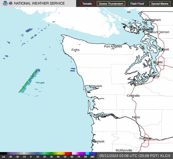 Langley Hill Radar
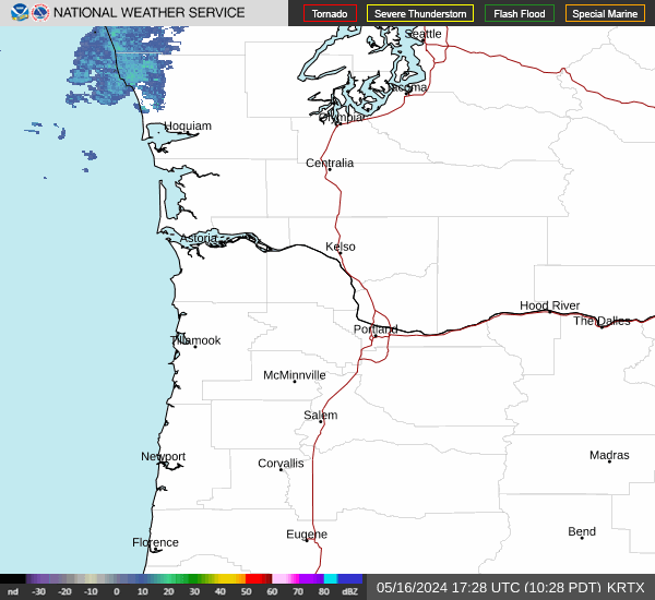 Portland Radar
  Satellite
 Rivers & Lakes
 Current Weather
 Graphical Forecasts
 Forecast, Hourly
 User Defined Weather
 Climate Charts
 Submit Storm Report
 Model Data
 Fire Weather
 Aviation Weather
 Marine Weather
 Bar Obs & Cams
 Drought Info
 Road Conditions
 Follow us on YouTube