Northwest Sands Ecological Landscape
Regional Master Plan
The Northwest Sands ecological landscape includes state forests, natural areas, fishery areas and wildlife areas. The ecological landscape intersects portions of Bayfield, Douglas, Washburn and Burnett counties and a very small portion of Polk County. Department properties in this landscape offer public access to and protect headwaters and sensitive areas surrounding the region’s trout streams, barrens habitat, and large forests. Hunting, fishing, hiking, cross-country skiing and other recreational opportunities are abundant in the region.
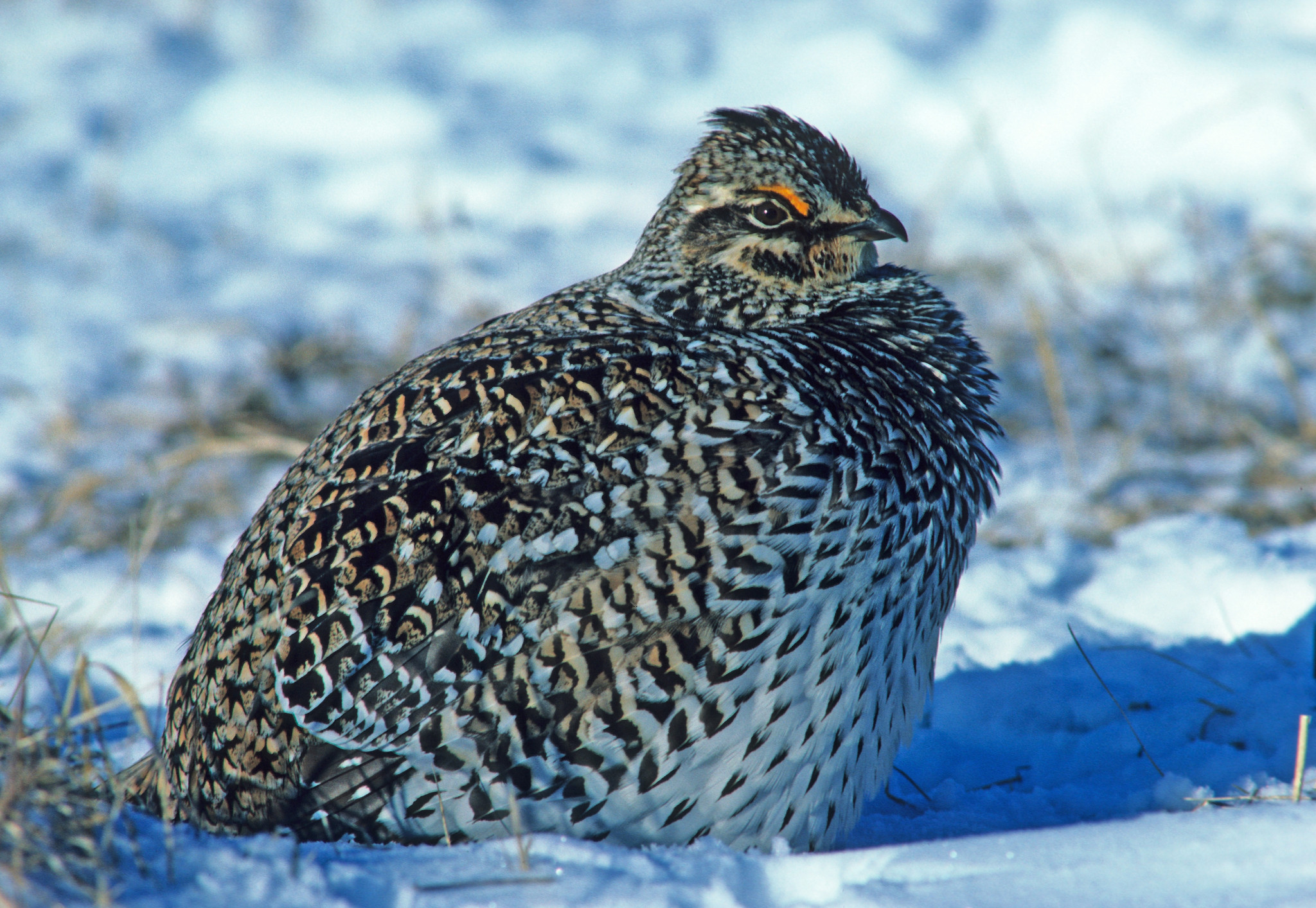
Male sharp-tailed grouse
Regional Master Plan
The Northwest Sands Regional Master Plan was approved by the Natural Resources Board in February 2019.
Amendments and Variances
The following amendments and variances to the regional plan have been approved.
The interactive map below shows many of the larger, more popular DNR properties in the Northwest Sands. All properties included in this planning region are listed in Appendix A of the plan document. View all properties in the region and access additional map data with the Property Planning Viewer.
Access a full-screen version of the Interactive Map of Northwest Sands Regional Master Plan Properties. If the map is not loading, please be sure your pop-up blocker is turned off.