
Authored by Kelly Speakes-Backman, Acting Assistant Secretary for Energy Efficiency and Renewable Energy, U.S. Department of Energy, and Tanya Trujillo, Assistant Secretary for Water and Science, U.S. Department of the Interior
Driven by increasingly destructive climate change impacts across the state, California Governor Gavin Newsom signed an emergency proclamation in July 2021 to accelerate development of clean energy projects. This bold move prioritizes renewable energy projects as a primary policy tool for navigating the United States toward a net-zero emission economy and mitigating climate change impacts.
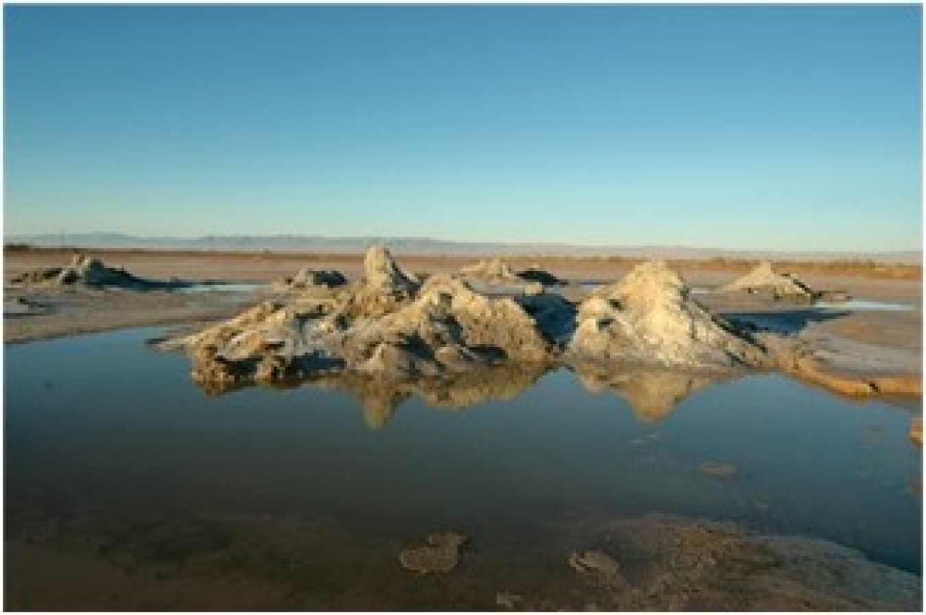
In addition, President Biden’s Executive Order 13990, which calls for reducing greenhouse gas emissions, and Executive Order 14008, which seeks to promote the clean energy transition, provide a perfect segue to highlight the recently launched GeoFlight: Salton Trough initiative, a collaborative effort between the Department of Energy’s (DOE) Geothermal Technologies Office (GTO) and the Department of the Interior’s (DOI) U.S. Geological Survey (USGS). Together, GTO and USGS are collecting data on hidden geothermal systems in California’s agriculturally rich Imperial Valley; the centerpiece of this valley is the geothermally active Salton Sea. In our respective Assistant Secretary roles, we actively pursue interagency work that unites core strengths to deliver the most impactful R&D outcomes.
Using specially equipped, low-flying aircraft, researchers with the USGS Earth Mapping Resource Initiative will survey the Salton Trough area. Their tools actively capture airborne magnetic and radiometric data that help identify unique surface and near-surface characteristics to create more accurate geologic maps for the area. Understanding these characteristics is essential to geothermal exploration and development. Ultimately this will help deploy renewable energy in a thoughtful, responsible, and economic manner.
Additionally, the USGS, in cooperation with the Bureau of Land Management and Natural Resources Conservation Service, is conducting a high-altitude airborne lidar survey over the area. The USGS 3D Elevation Program will provide publicly available, high-quality elevation data for the study area.
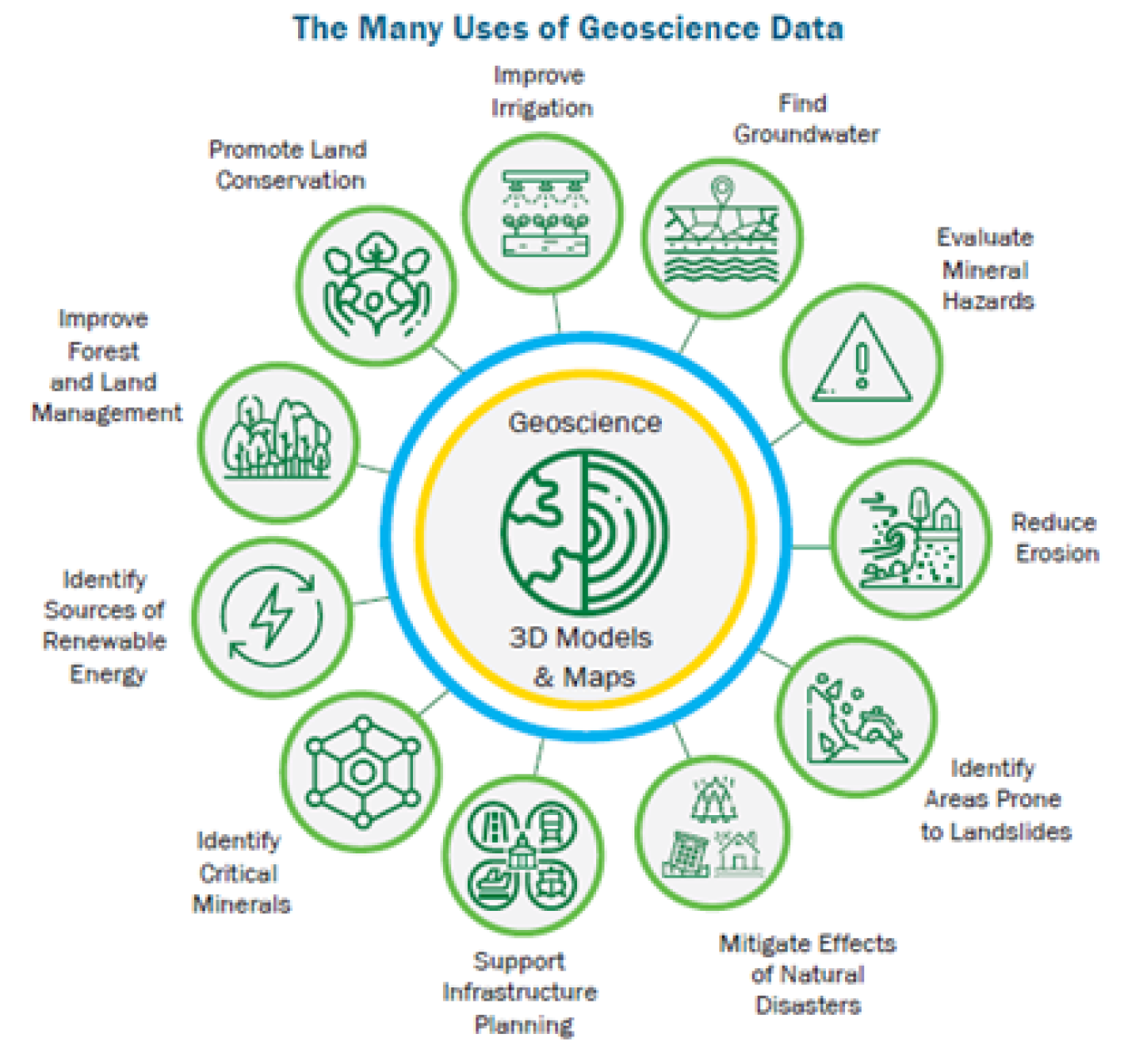
New geophysical data gathered in the Salton Trough over the coming months will allow us to identify potential geothermal resources as well as monitor earthquake and flood hazards, groundwater, mineral deposits, and conservation areas. We may even be able to identify and recover lithium deposits. Lithium is a valuable resource crucial to domestic high-tech manufacturing, especially for electric vehicle and grid storage batteries and components.
Lithium is listed in the critical minerals list, which the USGS recently published a draft revised version of for public comment. Under the Energy Act of 2020, a “critical mineral” is defined as a non-fuel mineral or mineral material essential to the economic or national security of the U.S., as well as the supply chain, which is vulnerable to disruption. Critical minerals are also characterized as serving an essential function in the manufacturing of a product, the absence of which would have significant consequences for the economic or national security.
GeoFlight builds on the Geophysical Data Acquisition in Western Nevada (GeoDAWN) project co-sponsored by GTO and USGS, initiated in 2020. GeoDAWN also used specially equipped aircraft to survey the Walker Lane region along the Nevada-California border, targeting geothermal prospects and mineral resources. Once collected, those data will be analyzed and used to produce publicly available maps and datasets in the coming year.
GeoFlight: Salton Trough and initiatives like it will provide the data support necessary for regional and local communities to make informed decisions about the direction of their future energy and mineral resource plans. We’re thrilled that our teams are working collaboratively to make a real impact and help us all better understand our world and the abundant resources that lie just below the surface. We especially hope to see increased geothermal energy deployed because of this pioneering effort, adding more renewable energy to the grid to mitigate the effects of climate change.