
The Dynamic Floor of Yellowstone Lake over the Past 14,000 Years
Studies of sediment on the floor of Yellowstone Lake reveal a dynamic history marked by some of the largest-known hydrothermal explosions on Earth! Data from these cores also provide new insights into hazards associated with hydrothermal explosions, including how they might be triggered.

Yellowstone Caldera Chronicles is a weekly column written by scientists and collaborators of the Yellowstone Volcano Observatory. This week's contribution is from Lisa Morgan, emeritus research geologist with the U.S. Geological Survey.
Hydrothermal explosions, unrelated to magmatic eruptions but rather to water flashing to steam in a confined area, have emerged as one of the most important and least understood geologic hazards in Yellowstone National Park and similar volcanic and hydrothermal terrains worldwide. Hydrothermal explosions require a sudden drop in pressure, which causes rapid expansion of high-temperature fluids, fragmentation, ejection of debris, and crater formation. The northern Yellowstone Lake area is a locus of numerous past hydrothermal explosions and is an ideal natural laboratory for detailed research into the timing and triggering mechanisms of these poorly understood hazards.
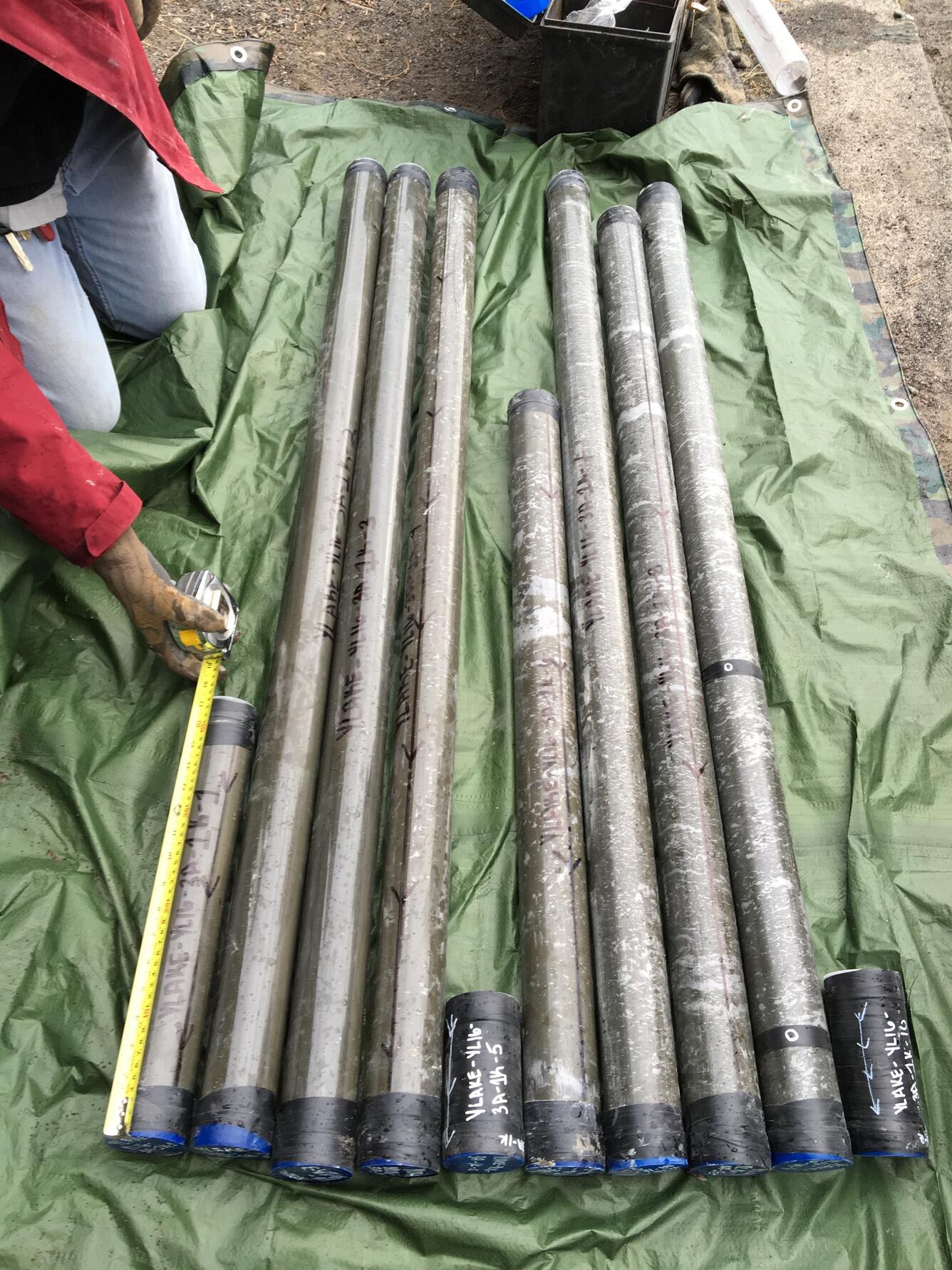
A sediment-coring campaign was conducted in Yellowstone Lake to better understand the frequency, distribution, and causes of hydrothermal explosions over the last ~14,000 years. These cores provide a basis for understanding hydrothermal explosion deposits in sedimentary sequences on the bottom of the lake and supplement recent and ongoing research on hydrothermal fluid systems venting on the lake floor, some of which are among the hottest hydrothermal vents in all of Yellowstone National Park!
The northeastern area of Yellowstone Lake has an abundance of large (500–2500 m [1640–8200 ft] in diameter) explosion craters—the greatest concentration of such features anywhere in Yellowstone National Park. In fact, the northern Yellowstone Lake area hosts the three largest hydrothermal explosion craters known on Earth. Located there are the partially submerged 13,000-year-old Mary Bay explosion crater (over 2.5 km [1.6 mi] in diameter), the 9,400-year-old Turbid Lake explosion crater (1.6 km [1 mi] in diameter), the ~8,000-year-old Elliott’s Crater (more than 700 m [0.4 mi] in diameter) on the lake bottom, and the 2,900-year-old Indian Pond explosion crater (about 500 m [0.3 mi] in diameter). Deposits of explosion breccia preserved around the craters on land are distinct from the surrounding geology because they reflect the subsurface geology below the craters.

As part of the recent multidisciplinary project “Hydrothermal Dynamics of Yellowstone Lake” (https://www.HDYLAKE.org), cores were collected from the lake floor to identify and map hydrothermal explosion deposits in the lake basin and to document past hydrothermal activity in Yellowstone Lake. A recent study published in Geological Society of America Bulletin (https://doi.org/10.1130/B36190.1) details geological and geochemical studies of 18 cores from Yellowstone Lake, in which 16 hydrothermal explosion events ranging in age from about 13,000 years ago to about 1860 CE were identified. These results provide the first detailed investigation of the age, characteristics, and origin of multiple hydrothermal explosion deposits from Yellowstone Lake. New age-constraint data on these deposits provide a four-dimensional view of recent geologic activity since the end of the most recent glaciation about 15,000 years ago.
The research also revealed that two distinct types of hydrothermal systems produce hydrothermal explosions in Yellowstone Lake: 1) neutral- or alkaline-chloride fluids, like those that characterize Upper Geyser Basin near Old Faithful, that can flash to steam under decompression, producing the largest explosions in terms of energy, volume, and crater size, and 2) vapor-expansion explosions in vapor-dominated thermal areas, similar to that at Mud Volcano on land, that produce smaller, but possibly more frequent, explosion events. The two largest explosion events identified in sediment cores from Yellowstone Lake were triggered quite differently. The Elliott’s Crater explosion resulted from a major seismic event about 8,000 years ago that ruptured a hydrothermal dome, whereas the Mary Bay explosion about 13,000 years ago was triggered by a sudden drop (about 14 meters, or 45 feet) in lake level, probably initiated by a large earthquake on the lake floor. The resulting local tsunami would have caused significant erosion of the lake’s outlet, triggering rapid fluctiations in lake level. The changes in pressure on the hydrothermal system caused by the lake-level variations could have been sufficient to allow sudden steam generation in the Mary Bay hydrothermal system, triggering the explosion.
A key outcome of the new research is the general relation between the composition of hydrothermal fluids and the magnitude of explosions, with the alkaline-chloride areas producing much larger explosions than the vapor-dominated systems. This new information provides important insights into hazards associated with any future hydrothermal explosions in Yellowstone.
Get Our News
These items are in the RSS feed format (Really Simple Syndication) based on categories such as topics, locations, and more. You can install and RSS reader browser extension, software, or use a third-party service to receive immediate news updates depending on the feed that you have added. If you click the feed links below, they may look strange because they are simply XML code. An RSS reader can easily read this code and push out a notification to you when something new is posted to our site.