By John Macek
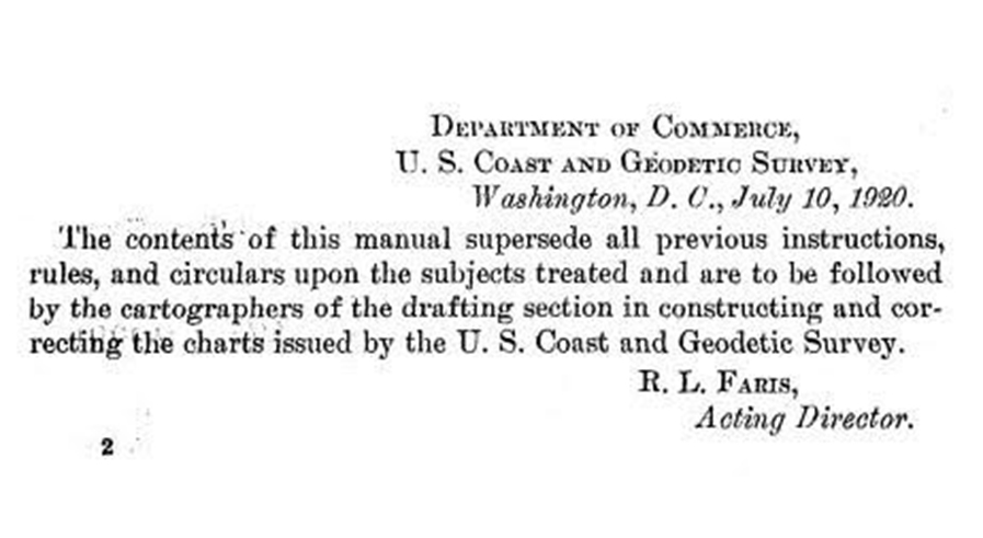
This July marks the 100th anniversary of the Office of Coast Survey’s Nautical Chart Manual. First published on July 10, 1920, as Special Publication No. 66, under the title “RULES AND PRACTICE RELATING TO CONSTRUCTION OF NAUTICAL CHARTS”, the 34- page pamphlet codified the essential guidelines to be used by cartographers of the U.S. Coast and Geodetic Survey.
This first edition Nautical Chart Manual formed an important backbone for the organization by providing a consistent framework for chart production. Within its seven sections, a cartographer would find a concise set of rules needed to produce a nautical chart – rules for the application of topography, hydrography and aids to navigation, and guidelines for projections, scales, borders, and type. A section named “Program of Chart Production” outlined Coast Survey’s charting plan, with descriptions of chart coverage for the Atlantic and Gulf, West Indies, Pacific coast, Alaska, the Hawaiian Islands, and the Philippine Islands, where the Coast Survey had an office in Manila.
At a mere 34 pages, the authors realized they did not, and could not, cover every eventuality. They were astute in knowing the issues faced by those surveying and mapping a dynamic world, “New and unforeseen problems present themselves in the preparation of nearly every chart, the solution of which must be left to the initiative, technical knowledge, and skill of the cartographer.” Thus, new editions, published intermittently, expanded on those concise rules. In the course of one hundred years, the Nautical Chart Manual would evolve to become the 2,902 page, three volume, web-based manual in use by Coast Survey today.