El Niño, drought, wildfires defined Washington’s weather in 2023
Dec 28, 2023, 7:08 PM
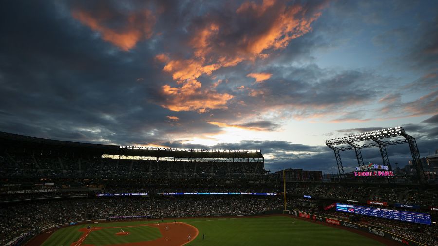
(Photo courtesy of KIRO 7)
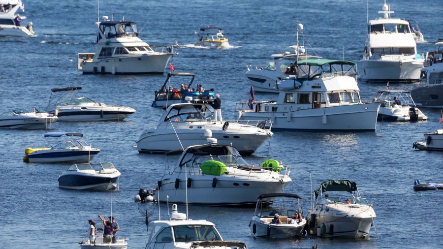
(Photo courtesy of KIRO 7)

As the year closes, it is time to look back and review what the highlights of the year’s weather were.
The good news was there were no heat domes, no long-lived cold waves and no widespread strong damaging wind storms. Yet, there were key features to the weather in 2023.
The big story involved the extremes in rainfall. Overall, Western Washington will finish the year well below average for rainfall. Interior areas will end with a rain deficit ranging between three and 11 inches while the coast will be even drier with a shortfall of between 13 and 24 inches. Earlier this summer, parts of Western Washington were in severe to extreme drought.
Wildfire smoke returned to the region for a few days in mid-August, making it six out of the last seven summers with wildfire smoke and poor air quality.
More state news: Earthquake jolts Western Washington on Christmas Eve
The wet first half of December helped make a dent in the drought with current conditions listed as moderate drought. An atmospheric river of copious warm rain resulted in the only significant widespread flooding event of the year. More than a dozen Western Washington rivers soared over their banks with the Stillaguamish River at Arlington setting a new all-time record, breaking the former record by a few inches.
Seattle-Tacoma International Airport (SeaTac Airport) had nearly 2.4 inches of rain on Dec. 5 for the wettest day of the year while Olympia received almost three inches of rain that day. On the coast, Quillayute Airport near Forks received just over four inches of rain on Dec. 4. Locations in the mountains got up to 10 inches of rain with snow levels above the passes, helping to generate the high water on the rivers.
The year started with a rare third La Niña in a row. La Niña is when sea surface temperatures in the Eastern Pacific tropical waters are cooler than normal, resulting the Pacific storm track spending more time at our latitude and sometimes surging cooler air in the region. Colder air from the interior of Western Canada resulted in a few periods of lowland snow in late January and again in the latter part of February. Parts of the North Sound had two to eight inches of snow in that February event.
The La Niña winter season faded away by spring and summer was again another warm one, getting an early start in May. Western Washington locations were between three and 4.5 degrees warmer than average for the whole month, with many neighborhoods reaching into the 80s and lower 90s for a few days in the middle of the month.
Seattle winter weather outlook: How much snow can we expect?
August was another warm month with the year’s most significant heat coming in the middle of the month. Olympia hit 100 degrees on Aug. 15, while SeaTac Airport reached 95 on both Aug. 15 and 16. The coast was also quite warm with Hoquiam reaching 93 degrees on Aug. 15. Forks reached 94 degrees.
Heading into the fall, El Niño returned. El Niño is when those same Eastern Pacific tropical waters are warmer than average. The Pacific Northwest usually is warmer than average during El Niño winter seasons and the end of this year shows that trend unfolding.
With only a few days to go, December temperatures in Western Washington have averaged in a range of 2.5 to 6.5 degrees warmer than normal.
El Niño winters also tend to result in below average mountain snow packs and so far this fall and winter, that seems to be the case. Snow amounts in the mountains are well below average to date, and the water equivalent in the snowpack is running a paltry 30-60% of average.
More on El Niño: How to prepare
Looking ahead, the latest seasonal weather outlook continues to reflect typical El Niño winter weather with warmer than average overall temperatures anticipated through March, with no significant trend in precipitation. By summer, El Niño looks to be in the rearview mirror. Yet, the seasonal outlook for spring and summer maintains warmer than average temperatures.
Ted Buehner is the KIRO Newsradio meteorologist. You can read more of Ted’s stories here and follow him on X, formerly known as Twitter.