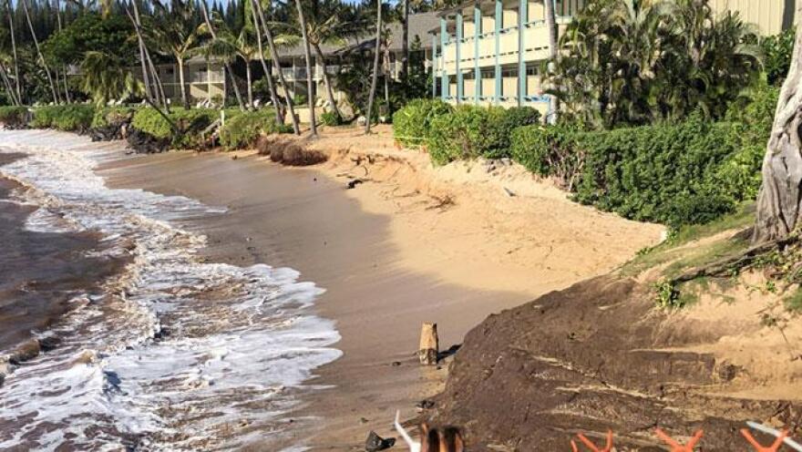
The Pacific Islands Ocean Observing System’s online map allows users to see flooding forecasts for when the sea level rises up to 6.5 feet.
PacIOOS updated its interactive mapping tool to accommodate various scenarios of sea level rise.
The map can help residents, businesses and state agencies to plan for floods.
The interactive map currently provides detailed forecasts for West Maui, but will become available for the whole state in the future.
"As sea level rises, the reef will provide less and less and less protection. Right now the protection is that the waves come in towards the coast, they hit the reef and they break. They lose a lot of their energy right there at the edge of the reef," said Douglas Luther, a professor of oceanography at the University of Hawaiʻi at Mānoa.
"Now imagine what happens in the future when the normal sea level is 1 foot, 2 foot, or 3 foot or more higher than it is now. Well then the waves that are coming in, they're not going to break at the reef edge. They're going to go right past the reef edge because it's too deep," Luther said.
West Maui wave-driven flooding with sea level rise map.
Statewide sea level rise viewer.


