Who we are
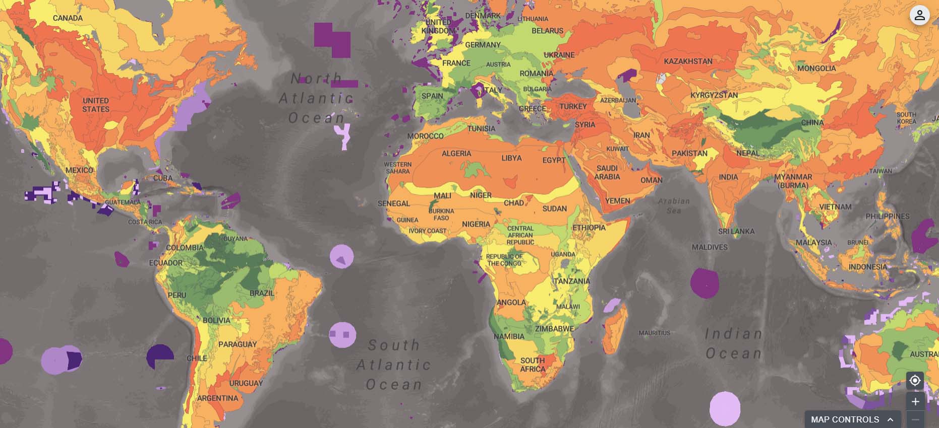
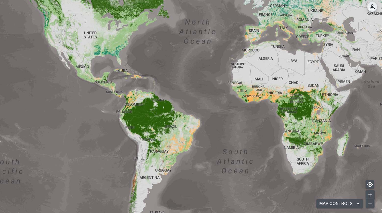
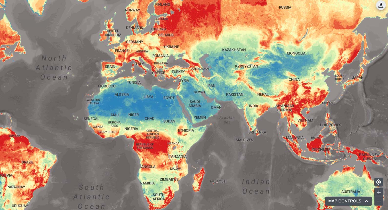
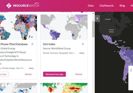
With over 400 of the world’s best data layers on nature, climate change, and sustainable development, UNBL supports country-led efforts to use national and global spatial data for planning, monitoring, and reporting and to take action for people and planet.
Discover
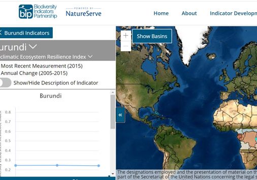
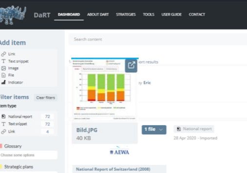
Explore popular data collections that unlock the power of data to generate insights to address critical issues for nature and sustainable development.
Impact stories
Haiti uses spatial data and aerial imagery to monitor protected areas.
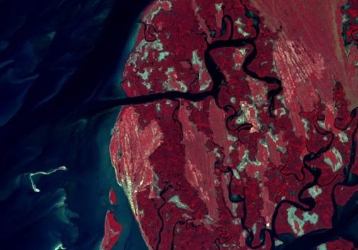
Haiti hosts an incredible array of marine biodiversity, including mangrove forests and coral reefs. In 2013, the first network of marine protected areas in Haiti was established in the southernmost 'Grand Sud' region of southern Haiti. The Port Salut/Aquin Protected Area is over 1,500 kilometres square and includes mixed marine and terrestrial sites.
Read this and other stories in the UNBL Use Case Brochure:
English | French | Portuguese | Russian | Spanish
Impact stories
Haiti uses spatial data and aerial imagery to monitor protected areas.
Haiti hosts an incredible array of marine biodiversity, including mangrove forests and coral reefs. In 2013, the first network of marine protected areas in Haiti was established in the southernmost 'Grand Sud' region of southern Haiti. The Port Salut/Aquin Protected Area is over 1,500 kilometres square and includes mixed marine and terrestrial sites.
Read this and other stories in the UNBL Use Case Brochure:
Eglish | French | Portuguese | Russian | Spanish
More stories:
UN Biodiversity Lab: 2023 Annual Report
Based on data layers from diverse sources, such as satellites, national and global science teams, and Indigenous Peoples and local communities, UNBL maps constitute a powerful resource to address the planetary crises by providing new ways to generate insight for nature and sustainable development.
This annual report presents the key activities, outcomes, and achievements of the UNBL partnership in 2023.


